The fourth dimension of route planning
You picked the route.
We'll pick the
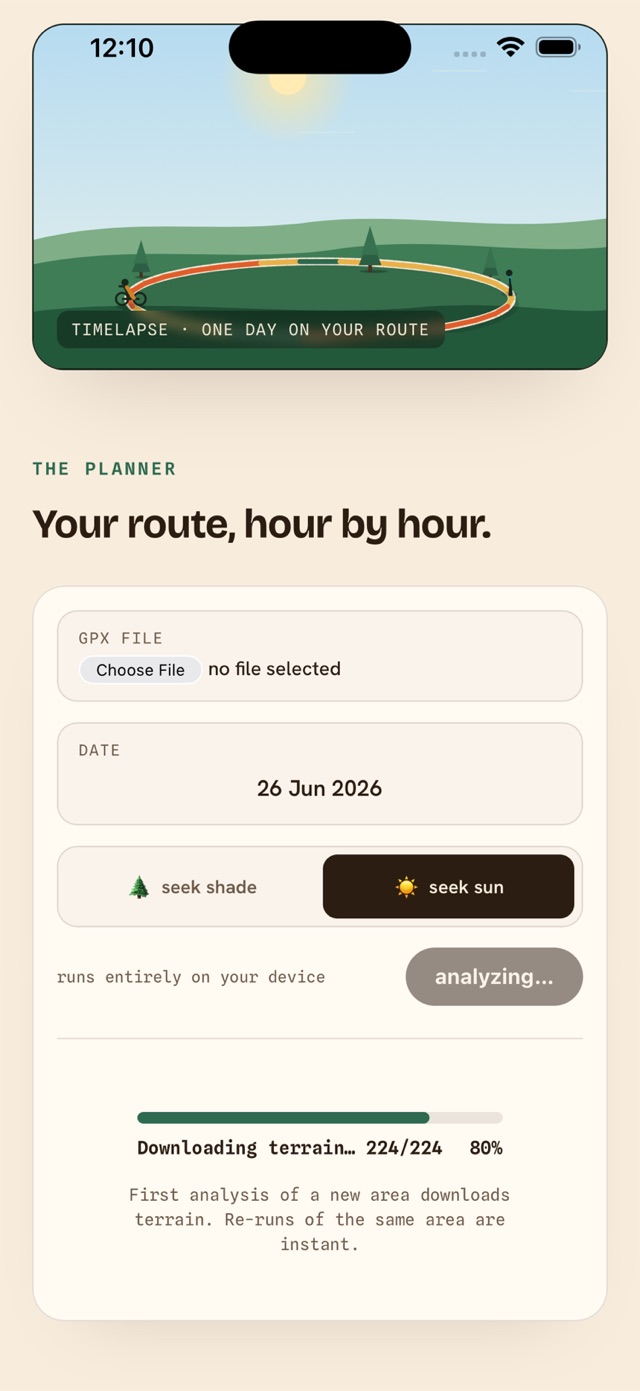
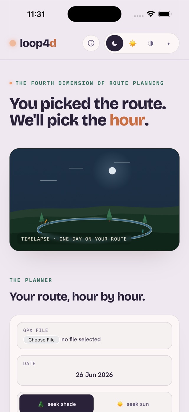
Open a GPX — or share one straight from Strava, komoot or Garmin Connect — pick a date, and loop4d walks the sun across your whole route, point by point. Shade on a hot summer day, sun in winter, wind and twilight in between.
How it works
One day of sun, walked across your route.
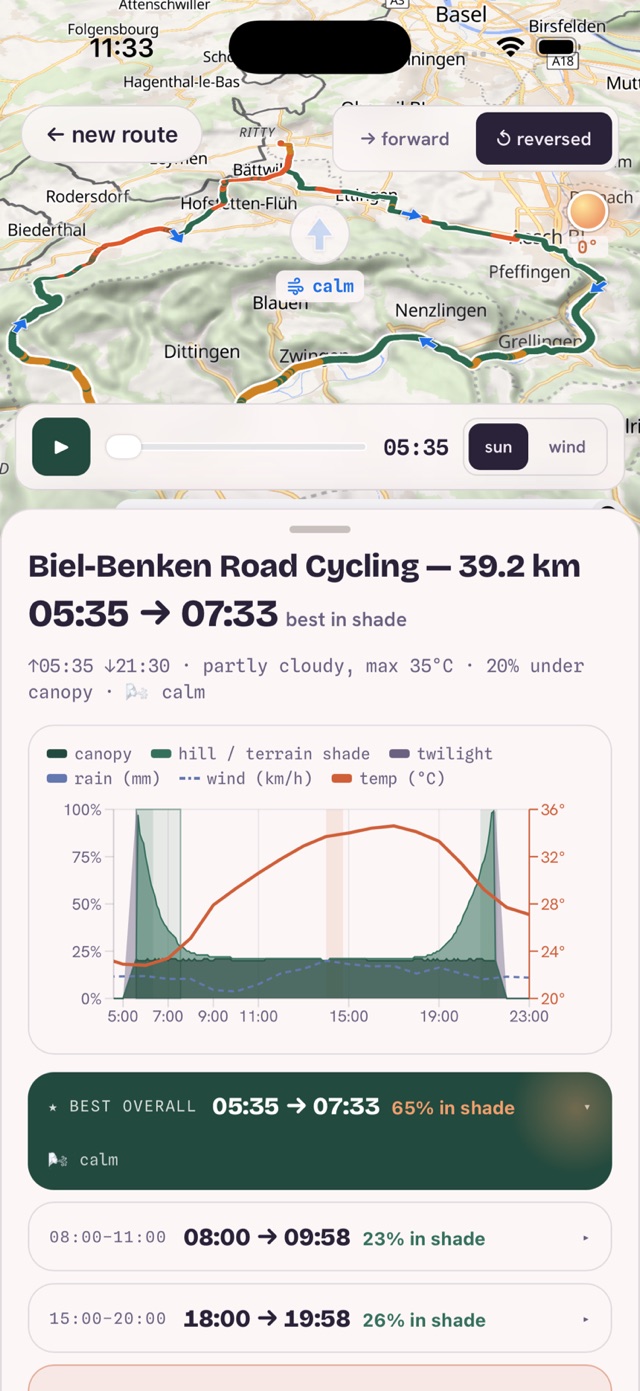
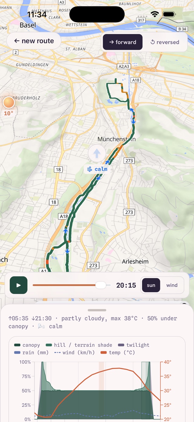
For every point of your track, loop4d works out when the sun clears the ridges, trees and buildings around you — then folds in the forecast.
Per-point sun & shade
Ridges, tree canopy and buildings, computed from open elevation data — right on your phone.
Best windows
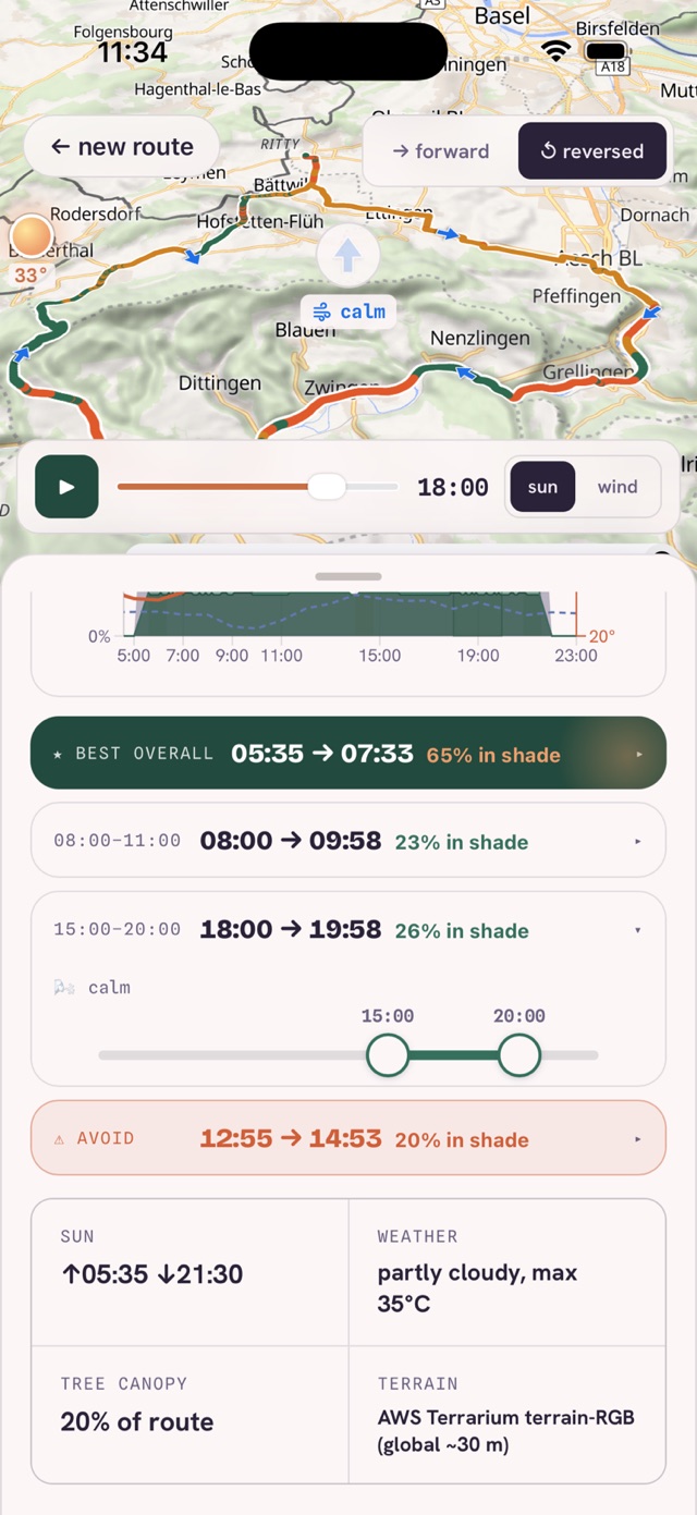
Clear "best in shade" and "best in sun" slots for your day — and the window to avoid.
Weather & wind
Temperature, rain, headwind and tailwind, twilight — from a live forecast for your date.
Replay
Scrub through the day and watch the route light up shade, sun and wind, segment by segment. No route handy? Grab the sample GPX.
In the app
The whole day, on one screen.
Plan
Pick a date. Seek shade or seek sun.
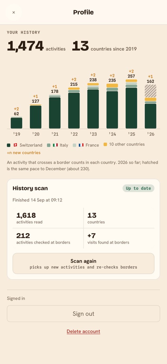
Your whole history, on one map.
Connect Strava once. loop4d maps every country you've run, ridden or hiked in, then closes the loop after each new activity.
Every activity lands on your map, year by year. It saves its place, so you can leave the app while it works.
Activities near a border are checked against OpenStreetMap, so a run that dips into France counts in France.
When a new activity lands on Strava, loop4d notifies you. Tap to open it, or pick any Strava route.
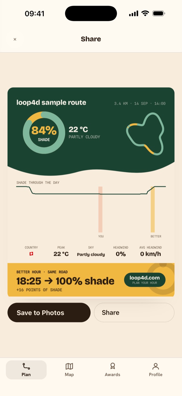
How much sun and shade the activity really had, which hour would have been better, and a card to share.
Optional: planning works without an account. Connecting uses Sign in with Apple and Strava's official sign-in; disconnect any time.
Awards
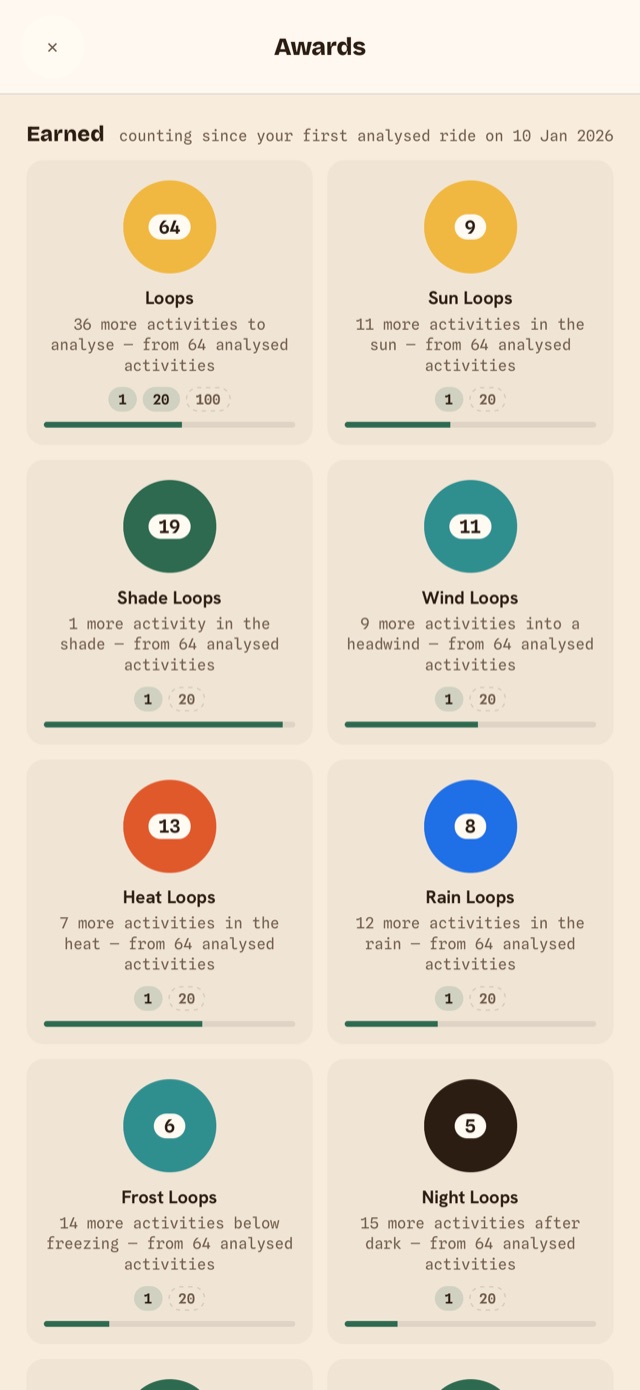
Loops for what you went out in.
Each activity you analyse counts toward a loop when it met the condition, measured along your route in the hours you were out.
Plus Collector for the countries on your map, Border crosser, and the kilometres you covered in shade and in sun. Your share card carries the loops that activity earned.